How our cell phone’s GPS knows we’re about to hit a traffic jam
Google Maps, Apple Maps and Waze report accidents and traffic density on a route in real time with the help of users
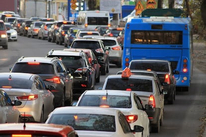

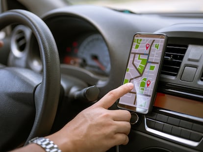
We are setting off on our holidays and suddenly our GPS paints the route orange or red, indicating traffic jams that have been accurately marked by apps such as Google Maps, Apple Maps or Waze. How can they predict the speed of traffic or the presence of traffic jams so reliably? The answer lies in the users themselves and the information they send these platforms, sometimes unknowingly.
Google Maps: AI and user data. Google’s map app is undoubtedly one of the most popular: on its 15th anniversary in 2020, the company announced that it was used by no less than 1 billion people worldwide. In order to know what the traffic is like, there are two options: the first is to explore the map without indicating any specific route — the traffic option must be active, of course; and the second is to choose a destination. In both cases, a color code indicates the density of cars on the road: green shows no traffic jams, orange shows medium density, and red indicates severe congestion.
To provide this information, it relies on two things. Firstly, and thanks to artificial intelligence and machine learning techniques, it analyzes past traffic patterns on the roads: this analysis can show, for example, that on the M-40 in Madrid vehicles normally travel at a speed of 100 km/h between 10 and 11 am, but only at 60 km/h between 8 and 9 am. It combines this knowledge with the information sent in real time by each smartphone that is on the road at that time, indicating where it is and the speed at which it is traveling.
Apple Maps: Siri alerts. iPhone users have the Apple Maps app installed by default, which shows much less information at a glance than Google Maps, although the information is also there if you look for it, as in the case of traffic tracking, which does not appear by default. To access this service, you have to select car or satellite navigation and set a route. It then shows the stretches with fluid traffic in blue, the slow ones in yellow and traffic jams in red.
Also, if a driver encounters any problem on the road, such as a traffic jam, accident or obstacle that is not marked on the map, they can immediately alert the platform by telling Siri. All without having to handle the device. The information sent to Apple’s servers is completely anonymous and is not associated with the user’s identity, ensuring privacy.
One interesting detail regarding the functions of this app is that with the next Apple Maps update to be released this fall, users of an electric vehicle will be able to consult the availability of charging stations in real time, with information on the charging network and type of connector.
Waze: volunteer users. More than 150 million people use the Waze app as their main mobile GPS every month, according to data from the tool itself. Fifty thousand of these have become volunteers who actively collaborate with the tool so that the maps are updated and can display warnings of traffic jams and accidents when indicating a route or simply when exploring a map. Every time a member of the community sends a report through the app, it is received by one of the volunteers known as map editors, who update it in real time.
Sign up for our weekly newsletter to get more English-language news coverage from EL PAÍS USA Edition